Space [&] Science
Better data insights for a safer life on Earth
Satellite data continues to emphasise its value in facilitating reliable and informed decision-making across a spectrum of applications. Thanks to our strong collaboration with multiple European Space Agencies, satellite manufacturers, and operators, we consistently expand our horizon. As a result, we are the ideal partner for pioneering advancements in the realm of satellite data and remote sensing.
Ground Segment
Since our founding in 2000, we have grown our expertise throughout the entire satellite data chain, commencing with the development and management of satellite ground segment processors and infrastructure. This encompasses:
- Instrument data simulation
- Prototype and operational ground processors (Level 1 and 2)
- Data quality monitoring & control tools
- Real-time data processing and archiving framework
- Cloud storage and high-performance cloud computing
Explore the EarthCARE mission for additional insights into our contributions in specific missions.

The various missions we have worked on:

Sentinel-1
Instrument: SAR
Maritime and Land Monitoring, Emergency Response, Climate change and Security.

Sentinel-4 (MTG)
Instrument: Imaging
Air quality, Climate & Ozone Monitoring

Sentinel-5P
Instruments:
Hyper- and Multispectral
Cloud, Aerosol & Radiation Mission

Sentinel-5
Instruments:
Hyper- and Multispectral
Cloud, Aerosol & Radiation Mission
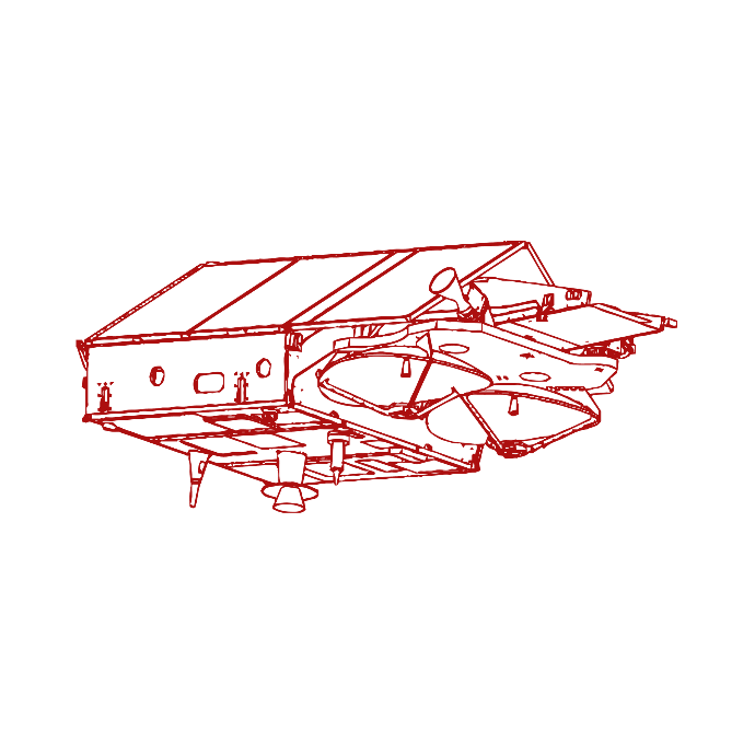
Cryosat-2
Instrument: SAR
Ice Mission
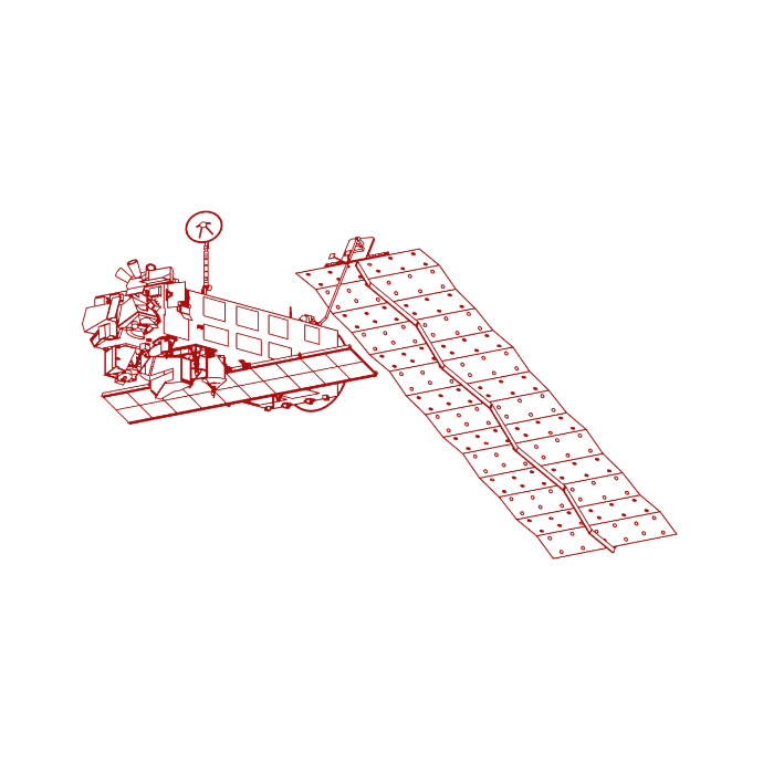
Envisat
Instrument: Imaging
Monitoring Land & Natural Resources
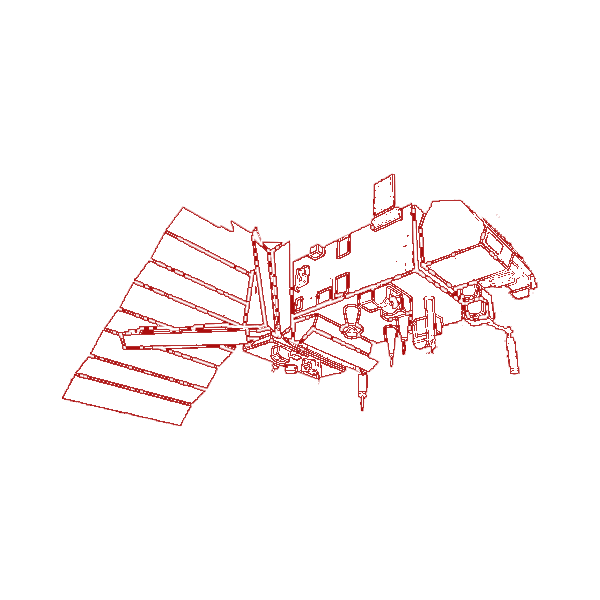
MetOp (GOME-2)
Instruments:
Hyper- and Multispectral
Climate & Atmosphere Research
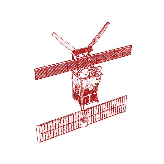
ERS-1/2
Instrument: Imaging
Monitoring Land & Natural Resources

GEO Ring (MFG, MSG)
Instrument: Imaging
Data for Weather Forecasting
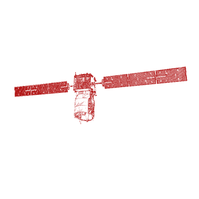
ADM-Aeolus
Instrument: LiDAR
Wind mission
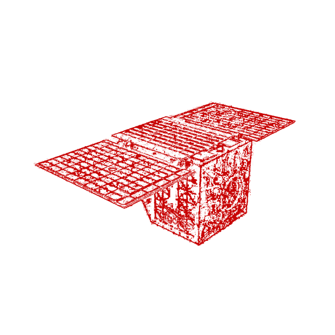
IRIDE
Instruments: SAR, Imaging, Hyper- and Multispectral
Fighting Hydrogeological Instability and Fire, Protecting Coastlines and Monitoring Critical Infrastructures, Air quality and Weather conditions.

EGNOS
Instrument: GNSS
Improving the Performance of GNSS
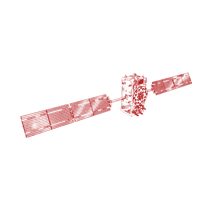
Galileo
Instrument: GNSS
High-Precision Positioning System
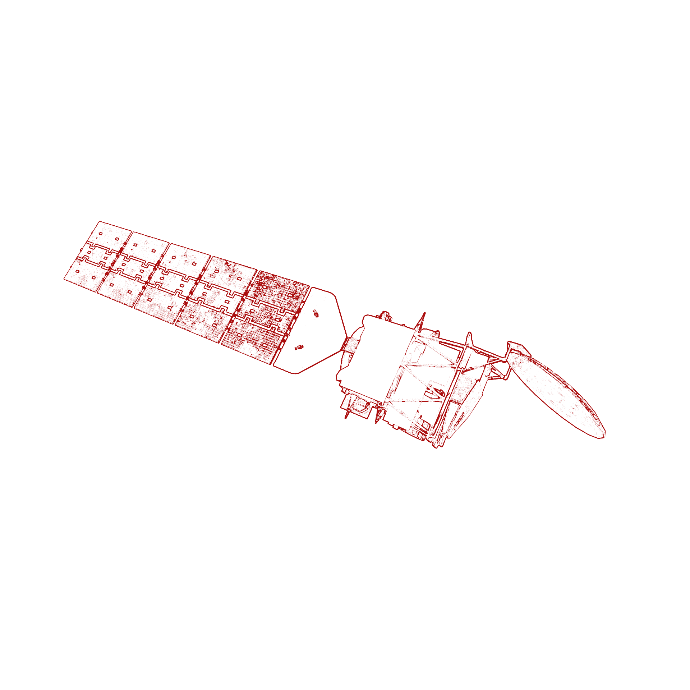
EarthCare
Instrument: LiDAR
Cloud, Aerosol & Radiation mission
Onboard Processing & Analytics
We are witnessing a growing trend where both governments and commercial entities are inclined to establish their own SmallSat constellations. These constellations require onboard support for features such as sensor data pre-processing, machine learning-based (ML) classification, dynamic tasking, and real-time data transmission.
We have gained substantial knowledge through our active involvement in several ESA In Orbit Demonstration (IOD) programs. Our experience includes:
- Onboard data processor development (SAR, Hyperspectral, IR)
- ML modules for cloud detection
- ML modules for land cover classification
- IDS and architecture for onboard
- FPGA, CPU, and GDPU programming

Better Data Access and Insights
Satellite data is playing an increasingly pivotal role in enabling well-informed and resilient decision-making across a multitude of applications. The practice of integrating data from various satellite sources, including optical imagery, Synthetic Aperture Radar (SAR), infrared (IR), and hyperspectral sensors, is referred to as data fusion. This method significantly amplifies our capacity to attain a more profound and comprehensive understanding of the Earth's surface. Particularly when paired with our powerful visualisation and mapping tools. We offer complete data insights services, data portals for easy access to satellite data information products, and collaborative platforms with the tools necessary to develop processing algorithms and analyse data.
Our clients
Our clients





How can we help?
Get in touch to learn more about our expertise in field of Space [&] Science.
